
News
Barcelona under the rain: when will the expected weather respite arrive?
The rainiest winter in decades surprises Barcelona. Forecasts do not announce an immediate respite. The constant passage of low-pressure systems affects urban life. How long will this situation last? Find out what the maps say and how it could affect your plans.
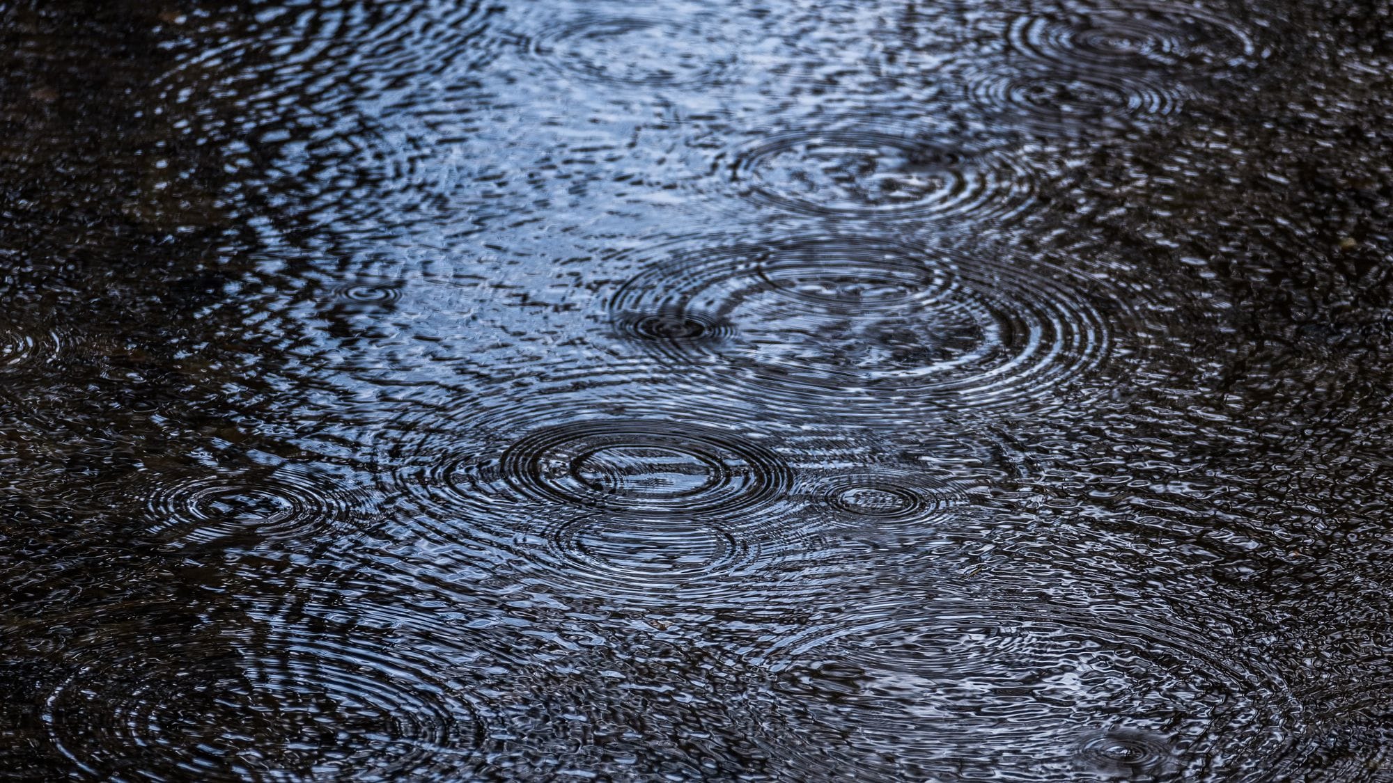
The wettest winter in decades surprises Barcelona. Forecasts do not announce an immediate respite. The constant passage of low-pressure systems shapes urban life. How long will this situation last? Find out what the maps say and how it may affect your plans.
Going out into the streets of Barcelona has become a daily challenge for those trying to dodge the rain. Since December, the city has experienced an unusual winter, with days marked by almost constant rainfall and abrupt changes in temperature. The umbrella has become indispensable and the question is repeated in every conversation: when will it stop raining?
The origin of this scenario lies in the succession of Atlantic low-pressure systems that, one after another, have crossed the peninsula. The recent Storm Harry brought intense rain and, after it passed, the pace did not slow down. Ingrid left snow across much of Catalonia and unexpected hail in Barcelona. Now, the fronts associated with Joseph and Kristin keep the atmosphere in permanent turmoil, with shifting winds and temperatures rising and falling within hours.
The key to this pattern lies in a persistent anticyclone over Scandinavia, which blocks the progress of low-pressure systems towards the north and diverts them towards southern Europe. The Azores anticyclone, for its part, regulates the flow and allows disturbances to keep reaching the city. The result: unpredictable weather, with spells of wind and rain that disrupt the routine of whole neighbourhoods.
Short- and medium-term forecasts bring no good news for those hoping for a break. Weather models indicate that the circulation of low-pressure systems will continue for at least another ten or fifteen days. In Barcelona, rain will generally be light but persistent, alternating with westerly and mestral gusts. Between 2 and 3 February, the arrival of cold air aloft could intensify rainfall and extend it to more areas of Catalonia.
Precipitation-anomaly maps from the European ECMWF model reinforce this trend: more rain than usual is expected across the peninsula, especially in the west, over the coming weeks. Although the pattern could ease from mid-February onwards, instability will remain and no radical change in the weather is expected.
The seasonal model of the US agency NOAA also anticipates a particularly wet February in the western peninsula, while in Catalonia rainfall will remain close to the climate average. For Barcelona, this means that the city will remain under the influence of Atlantic fronts, with intermittent rain and variable temperatures.
In this context, urban life adapts: outdoor plans are postponed, traffic becomes more complicated and the cultural agenda reinvents itself indoors. The question of when the sun will return still has no clear answer, but the maps insist: the rain still has a long way to run.
Atlantic low-pressure systems, the protagonists of this winter, are low-pressure systems that form over the ocean and move towards Europe driven by the jet stream. Their passage usually brings rain, wind and abrupt changes in temperature. In normal years, they are less frequent, but at times such as the present they can occur in succession for weeks and completely transform the climate of cities like Barcelona. This succession of fronts affects not only daily life, but also water management, mobility and the planning of urban events.