
News
Madrid restricts access to 12 forests in the Sierra Oeste after the fire
Since Thursday, the Community of Madrid has restricted recreational access to twelve public-utility forests in the Sierra Oeste affected by this summer's major fire. The measure covers paths and forest tracks in six municipalities and will remain in place while work continues to remove damaged trees and there is a risk to visitors.
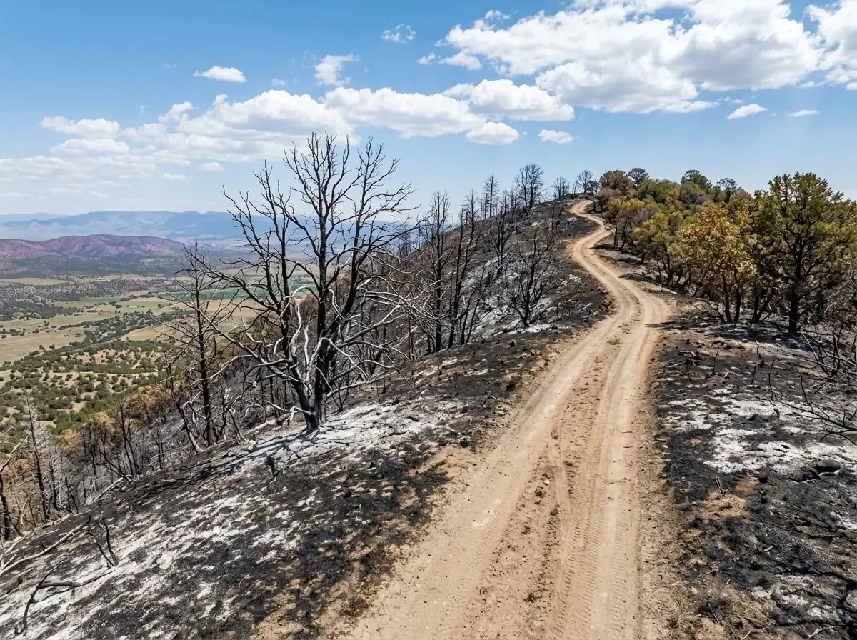
The woodlands are located in Fresnedillas de la Oliva, Navas del Rey, Pelayos de la Presa, Robledo de Chavela, San Martín de Valdeiglesias and Villa del Prado. Together they cover around 7,000 hectares that were burned, so anyone planning walks or bike routes this weekend should check the signage before entering.
The restriction does not mean the closure of the whole Sierra Oeste or of the whole municipal area of those six localities. It specifically affects the public woodlands included in the resolution and their forest roads and tracks. The main entrances must be signposted to warn of the limitations.
The reason lies in the condition of the forest after the fire. There are trees that are completely burned, partially charred, leaning, uprooted or structurally damaged and may fall without warning. This danger is compounded by possible falls of rocks and branches.
The works add another risk. Heavy forestry machinery is working along narrow tracks to fell dangerous specimens, remove timber, treat logging debris and repair paths, enclosures and signage. The regional authority considers that activity incompatible with recreational use while the work continues.
The movement of motor vehicles is also restricted. Teams responsible for surveillance, conservation and restoration, forestry workers, emergency services and those who need to use legally recognised rights of way will be able to gain access. Even these entries may be subject to timetables, routes, speed limits or specific conditions for certain vehicles.
There is no fixed date for restoring normal access. The Directorate-General for Biodiversity and Forest Management will periodically review each area and may lift the prohibitions partially as felling ends and the verges of paths and tracks are made safe. One of the emergency contracts for removing trees and repairing enclosures has an estimated duration of two months, but that period does not automatically equal the duration of all restrictions.
The 7,000 hectares now affected by the restrictions are only part of the territory reached by the July fire. The regional authority puts the fire's total perimeter at approximately 27,000 hectares across 17 municipalities, of which around 8,000 correspond to land managed by the regional government.
Autumn work will also include anti-erosion measures, the removal of burned remains and actions to encourage vegetation recovery. For hikers and cyclists, meanwhile, the practical reference will be the signage installed at each access point: reopening may return gradually and not necessarily at the same time in all twelve woodlands.