
News
Madrid's public art can now be explored by neighbourhood
The new viewer on the Geoportal de Madrid brings together nearly a thousand works from public spaces. It allows users to search by artist or district and provides information about their location to help discover the city's artistic heritage and support its conservation.
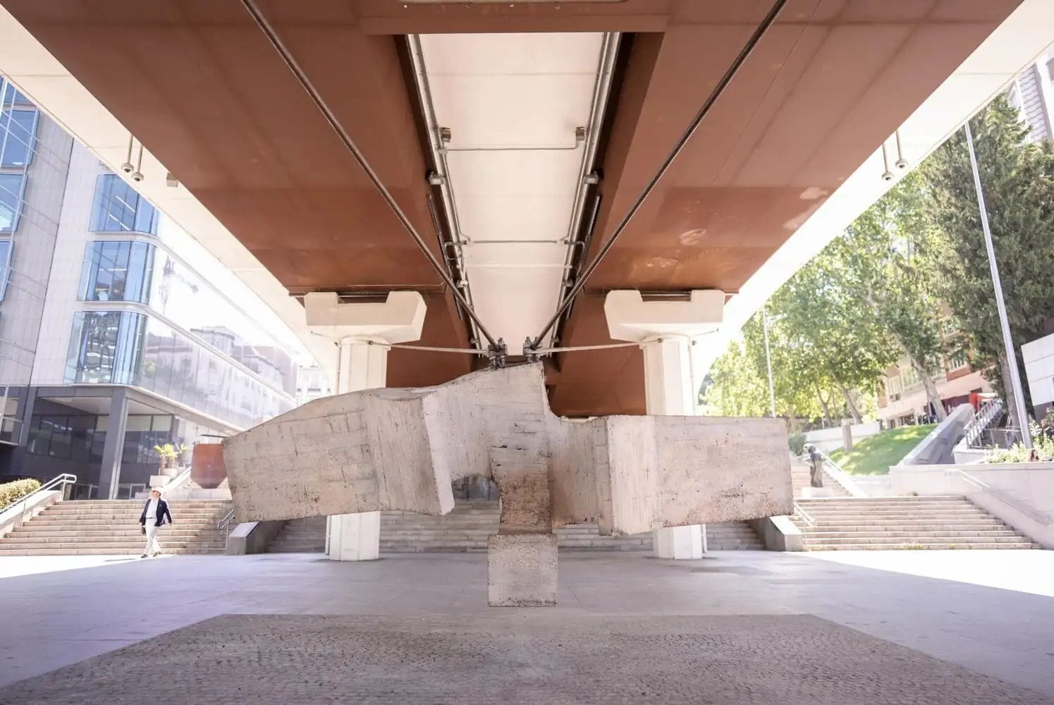
The municipal inventory brings together artistic expressions that are usually seen separately as you move around the city. Now, the Geoportal allows you to look up nearly a thousand works spread across different parts of Madrid.
You can filter your search by artist, district, location, or date. This makes it possible to explore the heritage of a neighbourhood or trace the presence of a creator throughout the capital.
What works are included in the inventory
The catalogue distinguishes between monuments and muralism. A third category groups together other artistic elements, from sculptures in squares and parks to commemorative plaques.
It also includes some works located in private spaces when they are visible in the urban environment and meet the established criteria. The selection requires a recognisable artistic intention and identifiable authorship. It also considers how each piece is individually integrated into the city landscape.
The muralism section brings together projects conceived from the start as artistic interventions and spontaneous expressions linked to graffiti that have later received heritage protection.
The presence of a specific work in the urban space has also made the news, as shown by the extension of the sculpture 'Julia' in Colón.
A resource for consultation and conservation
The viewer is open to everyone, but it will also serve municipal technical services. The information gathered will help study how artistic heritage is distributed among the neighbourhoods and monitor the condition of the works.
Creating the map has required several years of identification and cataloguing work. It has also included georeferencing the pieces.
The City Council aims to improve the dissemination and protection of this heritage and promote a more balanced territorial distribution. The Geoportal will be able to cross-reference the data with information on urban planning protection. The database will make it easier to plan future conservation tasks.