
News
Extreme heat returns this week with tropical nights and up to 40 degrees
Spain is preparing for another spell of intense heat as summer begins. Forecasts point to a further rise in temperatures from Thursday, with values that could exceed 40 degrees in several inland and western areas of the peninsula.
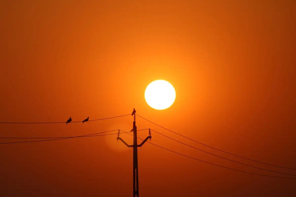
This time, the phenomenon will not depend on a direct influx of Saharan air. According to forecasts compiled by Meteored, the heat will be favoured by a powerful anticyclonic ridge, an atmospheric situation capable of reheating the air over the Peninsula itself and turning large areas of the country into a veritable oven.
The situation could intensify over the weekend with the formation of a heat dome. This phenomenon occurs when an anticyclone acts like a lid, trapping warm air and compressing it towards the surface, raising temperatures even further and reducing humidity.
The result will be a very dry and stifling atmosphere in many areas, especially during the middle hours of the day. Inland areas of the Peninsula could see thermometers reach or exceed 40 degrees, while in large cities the heat will also be felt because of the asphalt, traffic and lack of shade.
Madrid will be one of the capitals where the episode may affect daily life most. The middle hours of the day will once again be the toughest for walking, doing sport, working outdoors or waiting for public transport in streets without sun protection.
In Barcelona, temperatures may remain somewhat lower because of the influence of the sea, but humidity will work against people. The muggy feeling may make the heat more oppressive, especially in densely populated neighbourhoods, poorly ventilated homes and areas with little shade.
The problem will not be limited to daytime highs. Tropical nights, with lows above 20 degrees, will spread across many cities. Some capitals could even experience torrid nights, with temperatures not dropping below 25 degrees during the early hours of the morning.
This nighttime heat has a direct impact on rest. Sleeping badly for several days in a row increases tiredness, reduces the ability to recover and particularly affects older people, children, outdoor workers and residents with chronic illnesses.
Although conditions will be mostly stable, isolated storms are not ruled out in some places due to the passage of small upper-level waves. They would be isolated phenomena, but could arrive with strong winds or sudden changes in specific areas.
The recommendations are once again those for every episode of intense heat: avoid exertion during the middle hours of the day, drink water frequently, seek shade, ventilate the home when the outdoor temperature drops and pay attention to people who live alone or are at greater risk.
The episode arrives at a time when many cities are already operating in summer mode, with open swimming pools, more nightlife and outdoor plans. The difference will lie in adjusting schedules and routes: going out earlier or later, choosing shaded routes and not underestimating the heat accumulated in streets, squares and homes.
Extreme heat is no longer only a story of thermometers. It changes the way people get around, rest and use the city. This week, in both Madrid and Barcelona, the key will be to organise the day around a simple idea: the toughest hours are not always the best time to be out on the street.