
News
Montseny wakes up covered in snow after the first big snowfall of the winter
Montseny surprises with its first white blanket. Snow has fallen as low as 800 metres. More snow is expected in the coming days. Find out how the snow line is calculated. Rain or snow in the next few hours? Read the full forecast.
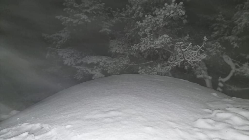
Winter has arrived with force in the province of Barcelona. During yesterday’s day, the snow line fell sharply to 800 metres, leaving a wintry scene in the Parc Natural del Montseny. The summits, which reach 1,700 metres, turned white after the first significant snowfall of the season.
This sudden change in snow altitude contrasts with the more than 1,500 metres recorded days earlier. The combination of converging winds, humidity and cold aloft encouraged the formation of snowflakes, particularly covering the highest areas of Montseny.
For the early hours of Thursday, meteorologists expect the snow line to remain between 800 and 900 metres, although it will gradually rise to 1,600-1,700 metres throughout the day.
Forecasts indicate that snow will continue in the coming days. However, the freezing level could mean that, at certain times, snow turns into rain. If precipitation continues to fall as snow, up to 20 centimetres could accumulate in three days, and even exceed half a metre at the highest points such as Turó de l’Home, Puig Sesolles, Les Agudes or Matagalls.
Calculating the snow line is complex and depends on several factors, such as temperature at different altitudes, geopotential at 850 hPa and relative humidity. There are simpler methods, such as adding the temperatures at 850 and 500 hPa and consulting specific tables.
Another useful reference is the zero isotherm, the level at which the temperature reaches 0 °C and marks the start of snowflake melting. In this episode, the zero isotherm lies between 1,400 and 1,700 metres, although the intensity of the snowfall can make it snow even with temperatures of 3 to 5 °C.