
News
Museu Marítim shows how urban plans have shaped present-day Barcelona
Barcelona is better understood when viewed on a map. The Museu Marítim hosts La construcción de la metrópoli, an exhibition spanning more than 150 years of urban plans and showing how the city went from growing beyond its walls to becoming a major metropolitan region. The exhibition can be visited at the Drassanes Reials until 6 September 2026.
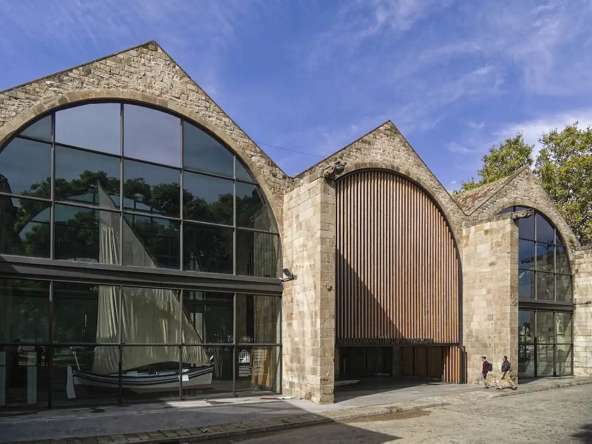
The exhibition, presented by the Universitat Politècnica de Catalunya, focuses on the relationship between planning and territorial reality. It is not only about ideas drawn by architects and urban planners, but about how those plans ended up affecting streets, neighbourhoods, infrastructure, housing, mobility and ways of life.
The exhibition examines ten major plans that have shaped Barcelona’s development, from Ildefons Cerdà’s 1859 reform and expansion project to the current Plan Director Urbanístico Metropolitano. In between, other key elements help explain why the city grew as it did, where industry concentrated, how it connected with the surrounding territory and what role the boundaries between Barcelona and neighbouring municipalities played.
The exhibition uses maps, plans, archive and contemporary photographs, press documents, videos and films. This material makes it possible to follow changes in urban theory and in ways of intervening in the city: from the expansion district to the metropolitan area, from major thoroughfares to the seafront, from planning on paper to today’s challenges of housing, mobility and climate.
One of the most interesting points is that the exhibition arrives as the Plan General Metropolitano marks its 50th anniversary. That anniversary is not merely a technical commemoration: it raises a very current question about the usefulness of planning in a city still debating how to grow, where to build housing, how to reduce inequalities and how to connect its neighbourhoods better.
The initiative forms part of the context of Barcelona Capital Mundial de la Arquitectura 2026, a programme that seeks to bring architecture, urban planning and landscape closer to the general public. The Museu Marítim thus joins a broader urban conversation, in which the city is explained not only through its emblematic buildings, but also through the decisions that have shaped its expansion.
The choice of the Drassanes Reials makes sense. The Museu Marítim occupies one of Barcelona’s great historic buildings and is located at a point where the medieval city, the port, La Rambla and the seafront meet. Seeing an exhibition about the metropolis there makes it possible to understand that Barcelona did not transform all at once, but in layers: plans, works, conflicts, opportunities and decisions that still shape daily life.
The exhibition matters because it makes urban planning less abstract. A plan is not just a line on a map: it can determine how long someone takes to get to work, whether a neighbourhood becomes isolated, where new homes appear or which public spaces a city gains. At a time when Barcelona is discussing its metropolitan future, looking back over those 150 years helps us understand that the city we inhabit is not accidental. Nor will the next one be.