
News
A historic snowfall threatens the Pyrenees: winter shows no mercy
The Pyrenees are exceeding usual snow levels. An unusual episode is approaching this weekend. The xaloc and llevant winds could intensify the snowfall. Models point to exceptional accumulations. How far will the snow reach this time?
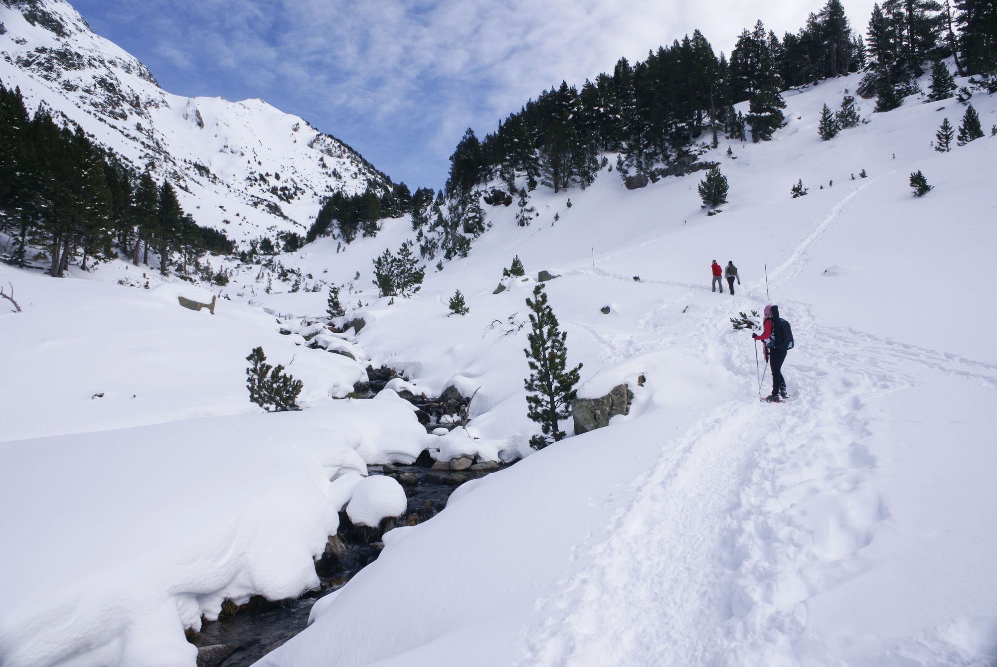
The Pyrenees are exceeding usual snow levels. An unusual episode is approaching this weekend. Xaloc and llevant winds could intensify the snowfall. Models point to exceptional accumulations. How far will the snow reach this time?
Winter in the Pyrenees has been especially intense. Since late November, snowfalls have been constant and snow depths already far exceed the usual average for this time of year. Now, a new weather episode threatens to leave even more remarkable records in the mountain range.
According to European models, from Saturday an episode of xaloc and llevant winds will develop and could last for several days. This phenomenon will bring moisture and favour fresh snowfalls, especially in parts of the Eastern Pyrenees, where maps show unusual or even extreme values for the time of year.
The EFI index, used by the ECMWF model, indicates that the snowfall forecast between 17 and 20 January could be exceptional in the Eastern Pyrenees. In addition, significant accumulations of snow are expected even in North Africa, in the Atlas and the mountains of northern Algeria, as well as in some parts of the Alps.
The change in weather will begin on Friday with the passage of a weak front, which will leave only some light snowfalls above 1,300 or 1,400 metres. However, on Saturday the situation will become more complicated with the formation of a low-pressure system in the Mediterranean, which will channel moist south-easterly winds towards the Pyrenees.
The snowfall is expected to be particularly significant on the southern flank of the range, affecting both the Pre-Pyrenees and areas of the Western and Aragonese Pyrenees. Precipitation models forecast totals above 50 litres per square metre, which could translate into up to 50 cm of snow at high elevations. The snow line will remain between 1,200 and 1,400 metres over the weekend.
Maps of accumulated precipitation through Sunday night show maxima in the Aragonese Pyrenees, although other models place the epicentre in the south of the Catalan Pyrenees. Uncertainty remains high, but the scenario points to a major snow episode.
From Monday, the low-pressure system could move towards the Balearic Islands, changing the wind to llevant and gregal. This new pattern would favour heavy rain in the eastern end of the Pyrenees, the Transversal mountain range, Montseny and southern Catalonia. The snow line would remain stable, although it could vary depending on the evolution of the low-pressure system.
Experts warn that small changes in the system's final position could significantly alter the outcome. For now, everything points to the Pyrenees experiencing one of the most notable snow episodes of recent years.